
Minkiyani Pass Trek
Summarize this with AI
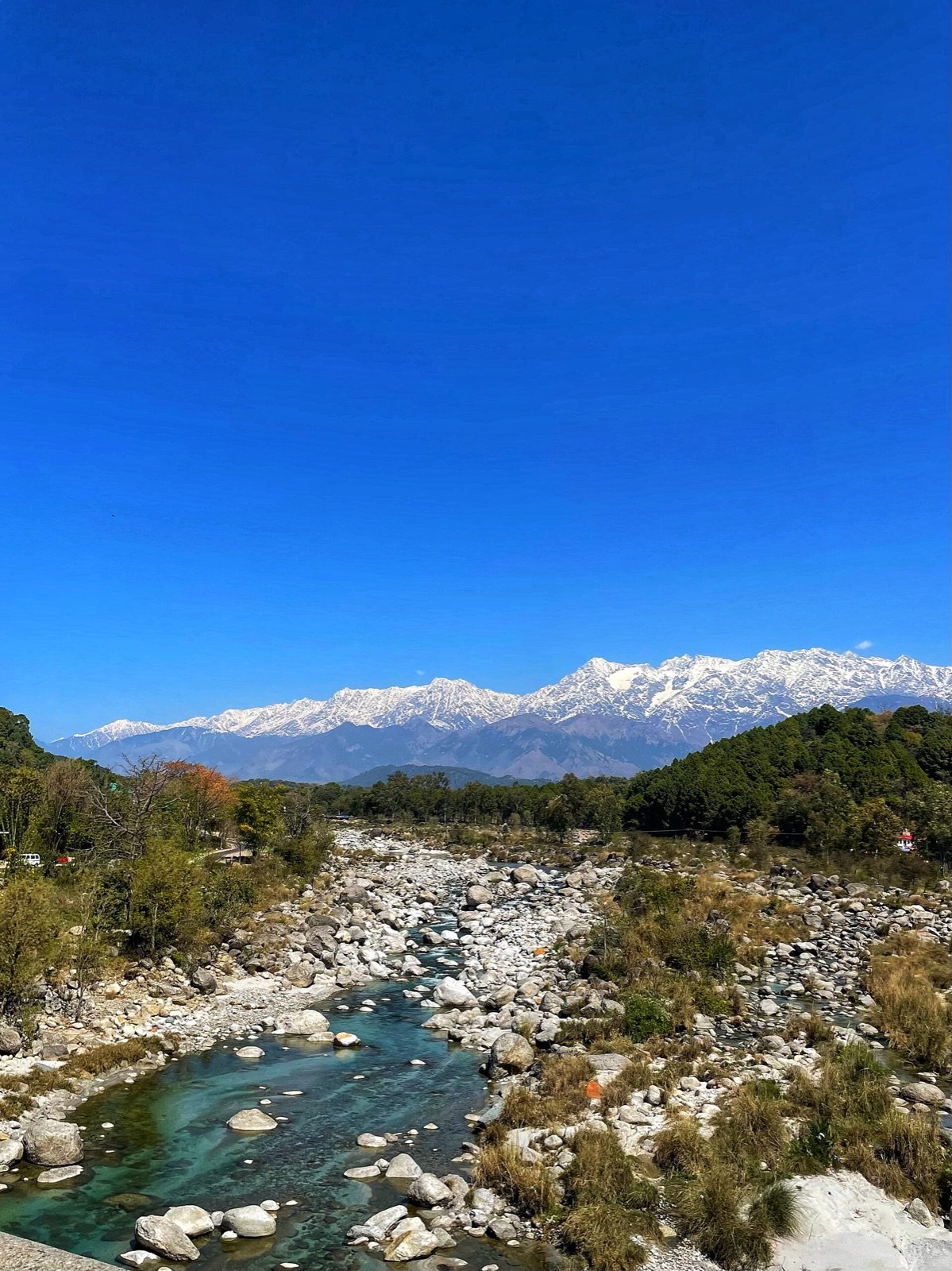
Photo: Tanvi.sharmaaa / CC BY-SA 4.0, via Wikimedia Commons
Overview
A steep, quiet crossing of the Dhauladhar above Kareri Lake, boulder fields, a narrow pass and a long view back over the Kangra valley.
The Dhauladhar is crossed at only a handful of points, and Minkiani is one of the older ones. Where Indrahar draws most of the trekking traffic, Minkiani has stayed a working shepherd crossing, quieter, rougher underfoot, and far less waymarked.
The paths here are not built for trekking. They are Gaddi shepherd routes. The Gaddi are a semi-nomadic pastoral community who winter with their flocks in the low Kangra and Shivalik hills and drive them up to the high Dhauladhar pastures each spring, crossing to Chamba on the far side. Their migration has shaped every trail, campsite and cave shelter on this range.
The pass sits on the district boundary. Step over the top and you leave Kangra for Chamba, and the landscape changes with it: the green, monsoon-fed southern slopes give way to the drier, starker country on the northern side.
Highlights
- A genuine working shepherd crossing of the Dhauladhar, far quieter than the popular Indrahar route
- Stepping over the district boundary at the pass — Kangra on one side, Chamba on the other
- A full traverse rather than an out-and-back, so the views change constantly instead of repeating
- Rougher, less waymarked trail for trekkers who want something beyond the standard routes
- Close contact with Gaddi shepherd camps still using this route today
Conditions
Dhauladhar weather turns fast. Carry layers, rain shell and sturdy boots.
What's included
- Certified trek leader and support staff
- All meals on the trail (veg, fresh-cooked)
- Camping and sleeping equipment
- First-aid kit and oxygen support
- Forest and camping permits
- Transport between the two trailheads (start and end points differ on a traverse)
- Travel to the starting trailhead and from the finishing trailhead to your base
- Personal trekking gear (shoes, backpack, etc.)
- Travel insurance
- Mule or porter for personal luggage
- Any meals outside the itinerary
Route stages
| Stage | Distance | Altitude | Time |
|---|---|---|---|
| 1Kareri village → Reoti | 6 km | 2,400 m | 3–4 h |
| 2Reoti → Kareri Lake | 3 km | 2,934 m | 2 h |
| 3Kareri Lake → Minkiani Pass | 4.5 km | 4,250 m | 4–5 h |
| 4Pass → descent and return | 18 km | — | 2 days |
Best time to go
| Month | Conditions | Status |
|---|---|---|
| January–March | Deep snow on the pass | Closed |
| April | Snow lingering above 3,500 m | Limited |
| May–June | Pass usually clear, settled weather | Best |
| July–August | Monsoon, with rockfall risk and poor visibility | Avoid |
| September–October | Clearest and most stable conditions | Best |
| November | Early snow closes the pass | Limited |
| December | Impassable without mountaineering equipment | Closed |
Getting there
- By air
- Gaggal / Kangra Airport (DHM), about 15 km from Dharamshala. Direct flights from Delhi take roughly 1 hour 30 minutes.
- By rail
- Pathankot is the nearest broad-gauge railhead, about 90 km away. Onward by road takes roughly 3 hours.
- By road
- Delhi to Dharamshala is about 480 km, 10 to 12 hours by overnight bus. Chandigarh is about 250 km, roughly 6 hours.
- Trailhead
- Kareri village, 24 to 26 km from Dharamshala, roughly 1 hour 15 minutes by road.
Frequently asked questions
- How high is Minkiani Pass?
- Sources place it between 4,220 m and 4,350 m; we quote 4,250 m. It lies about 4.5 km beyond Kareri Lake on the Dhauladhar crest.
- How hard is the Minkiani Pass trek?
- Moderate to difficult. It demands previous trekking experience, a head for exposure and comfort on loose boulder terrain. It is not a first trek.
- How many days does Minkiani Pass take?
- Four days and three nights covering roughly 30–35 km, with the pass crossed on day three from a camp at or above Kareri Lake.
- When can Minkiani Pass be crossed?
- April to June and September to November. The pass holds snow well into early summer and becomes unsafe once winter sets in.
Nearby
- Kareri village, the trailhead, Gaddi shepherd settlement
- Naddi viewpoint, 14 km
- Dal Lake, Dharamshala, 12 km
- Kangra Fort, 30 km
- Masroor Rock Cut Temples, 50 km
Description Content
Minkiani Pass is the quieter of the two well-known Dhauladhar crossings above Dharamshala. Where Indrahar draws crowds, Minkiani sees a fraction of the traffic, partly because the approach is longer, partly because the pass day is genuinely demanding. It sits on the crest at around 4,250 metres, about 4.5 km beyond Kareri Lake.
The route
The trek starts from Kareri village and follows the Kareri Lake trail through oak forest and shepherd meadows to a camp at the lake. From there the route climbs steeply onto the crest, crossing extensive boulder fields before topping out at the pass. Total distance is roughly 30–35 km over four days.
The pass day
The crossing is the crux. The ground above the lake is loose, the gradient is unrelenting, and the final approach narrows considerably. Starts are early to get across before the afternoon weather builds. From the top the view runs back down the whole Kareri valley toward Kangra on one side, and over into Chamba district on the other.
Difficulty and fitness
Graded moderate to difficult. Trekkers should have prior high-altitude days and be comfortable walking 6 to 7 hours on rough ground. Ankle-supporting boots are essential; trekking poles make a real difference on the descent.
Conditions
Snow lingers on the pass into June and returns from late October. Wet rock on the boulder sections is the main hazard and is a common reason to turn a group around. Weather windows here are shorter than on the Kangra side.
Gallery