
Chamba Valley Trek via Indrahar Pass
Summarize this with AI
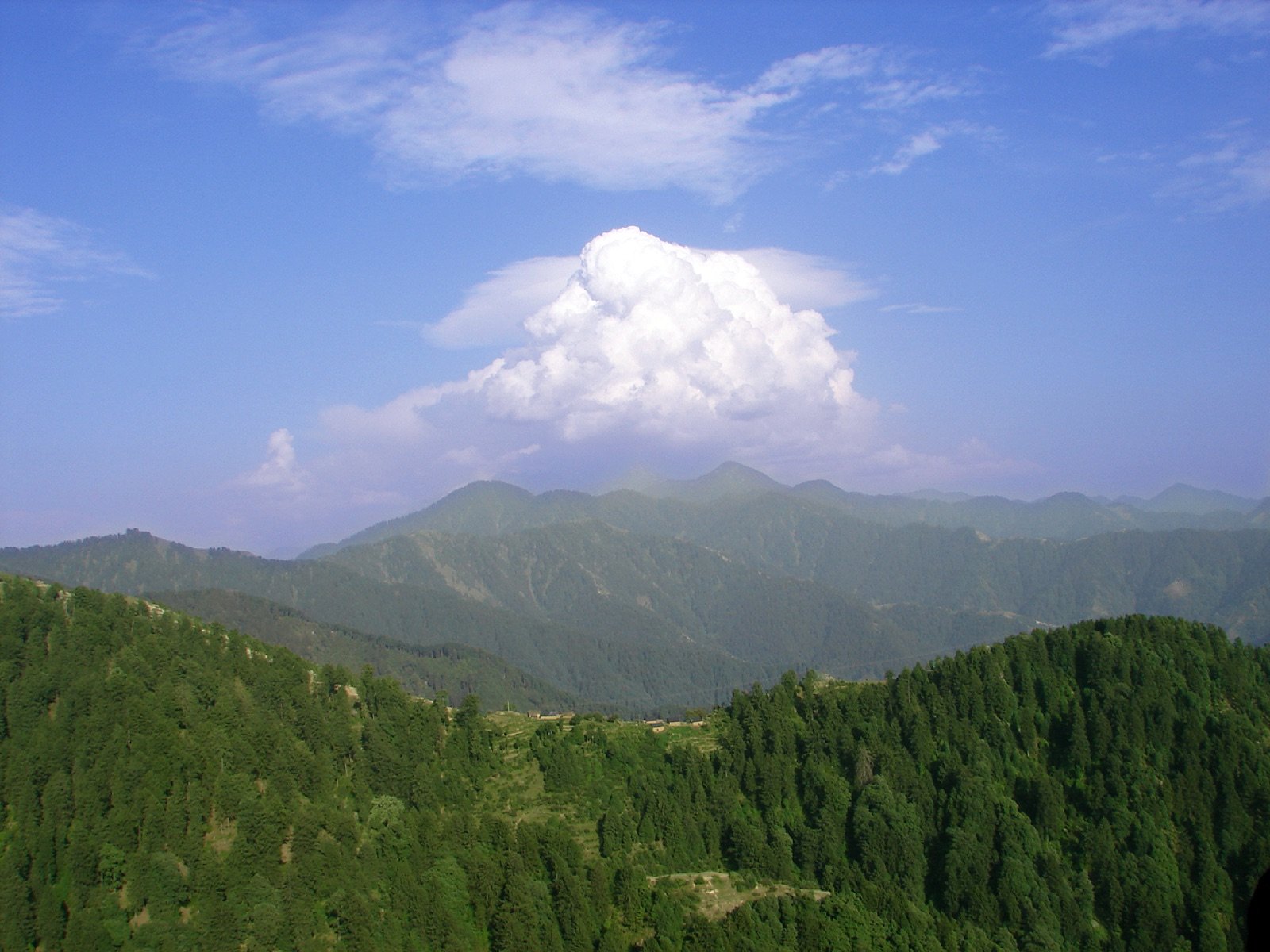
Photo: Voobie / CC BY-SA 2.0, via Wikimedia Commons
Overview
The full traverse of the Dhauladhar: up from Kangra, over Indrahar Pass at 4,342 m, and down into Chamba through Chatta Parao and the Gaddi village of Kuarsi.
This trek crosses more than a mountain range. Chamba is one of the oldest continuously ruled princely states in the western Himalaya, traditionally dated to around 920 CE and named, according to local history, after Champavati, daughter of its founding raja.
Because the Dhauladhar was so difficult to cross, Chamba developed largely apart from Kangra on the other side. It kept its own temple architecture, the Laxmi Narayan complex in Chamba town is the best-known example, its own script, and its own dialect. Walking over the pass is the old way of experiencing why that separation held.
Kuarsi, the first village on the northern side, is still hours from the nearest road. Villages here have historically looked north to Chamba rather than south to Kangra, and the change in language and building style is noticeable within a day of crossing.
The paths here are not built for trekking. They are Gaddi shepherd routes. The Gaddi are a semi-nomadic pastoral community who winter with their flocks in the low Kangra and Shivalik hills and drive them up to the high Dhauladhar pastures each spring, crossing to Chamba on the far side. Their migration has shaped every trail, campsite and cave shelter on this range.
Highlights
- Crossing Indrahar Pass into Chamba, one of the oldest princely states in the western Himalaya
- A visible shift in architecture, script and dialect the moment you drop into the Chamba side
- Kuarsi, the first village beyond the pass — still hours from the nearest road
- A full 45 km traverse through two culturally distinct valleys, not an out-and-back repeat
- Genuine remoteness for several days between Kangra and Chamba
Conditions
Dhauladhar weather turns fast. Carry layers, rain shell and sturdy boots.
What's included
- Certified trek leader and support staff
- All meals on the trail (veg, fresh-cooked)
- Camping and sleeping equipment
- First-aid kit and oxygen support
- Forest and camping permits
- Transport between the two trailheads (start and end points differ on a traverse)
- Travel to the starting trailhead and from the finishing trailhead to your base
- Personal trekking gear (shoes, backpack, etc.)
- Travel insurance
- Mule or porter for personal luggage
- Any meals outside the itinerary
Route stages
| Stage | Distance | Altitude | Time |
|---|---|---|---|
| 1McLeod Ganj → Triund ridge | 9 km | 2,875 m | 4–5 h |
| 2Triund → Lahesh Cave | 6 km | 3,300 m | 3–5 h |
| 3Lahesh Cave → Indrahar Pass | 4 km | 4,342 m | 2–6 h |
| 4Indrahar Pass → Chatta Parao | 6 km | 3,800 m | 3–4 h |
| 5Chatta Parao → Kuarsi village | 14 km | 2,300 m | 7–8 h |
| 6Kuarsi → Lamu roadhead (via Hilling) | 6 km | 1,900 m | 4–5 h |
Best time to go
| Month | Conditions | Status |
|---|---|---|
| January–March | Deep snow on the pass | Closed |
| April | Snow lingering above 3,500 m | Limited |
| May–June | Pass usually clear, settled weather | Best |
| July–August | Monsoon, with rockfall risk and poor visibility | Avoid |
| September–October | Clearest and most stable conditions | Best |
| November | Early snow closes the pass | Limited |
| December | Impassable without mountaineering equipment | Closed |
Getting there
- By air
- Gaggal / Kangra Airport (DHM), about 15 km from Dharamshala. Direct flights from Delhi take roughly 1 hour 30 minutes.
- By rail
- Pathankot is the nearest broad-gauge railhead, about 90 km away. Onward by road takes roughly 3 hours.
- By road
- Delhi to Dharamshala is about 480 km, 10 to 12 hours by overnight bus. Chandigarh is about 250 km, roughly 6 hours.
- Trailhead
- Galu Devi temple above Dharamkot, about 30 minutes by taxi from McLeod Ganj. Most groups walk in from McLeod Ganj instead.
- Finish
- Lamu roadhead in Chamba district, with onward road transport to Chamba town and Dharamshala.
Frequently asked questions
- Where does the Chamba Valley trek start and end?
- It starts at McLeod Ganj in Kangra district and finishes at the roadhead at Lamu in Chamba district, crossing Indrahar Pass in between. It is a one-way traverse, not an out-and-back.
- How long is the Chamba Valley trek?
- Five to six days, four to five nights, covering roughly 45 km including the descent to the Chamba roadhead.
- How hard is this trek?
- Difficult. It combines the full Indrahar Pass ascent with several long descent days on the Chamba side, including a 7 to 8 hour stage from Chatta Parao to Kuarsi.
- What is Kuarsi?
- The first Gaddi village reached after crossing the pass into Chamba, a genuinely remote settlement several hours walk from the nearest road.
- When can this traverse be done?
- Roughly May to October, when the pass is clear enough to cross safely. It is not possible in winter.
Nearby
- Kuarsi, the first Gaddi village on the Chamba side of the pass
- Chamba town and the Laxmi Narayan temple complex
- Bharmour and the Chaurasi temple group, 65 km from Chamba
- Bhagsunag Falls, at the Dharamshala trailhead, 2 km from McLeod Ganj
Description Content
This is the Dhauladhar traverse in full: you climb out of the Kangra valley, cross Indrahar Pass at 4,342 metres, and descend the far side into Chamba district. Unlike the out-and-back Indrahar trek, you finish in an entirely different watershed, having walked from one side of the range to the other.
The route
The ascent follows the standard Indrahar approach, McLeod Ganj, Triund, Ilaqa Got, Lahesh Cave, before the pass day. Beyond the top the trail drops to a camp at Chatta Parao, then makes a long stage of seven to eight hours down to Kuarsi, the first Gaddi village on the Chamba side. From Kuarsi a narrow rock-cut path leads to Hilling and on to the roadhead at Lamu. Total distance is roughly 45 km over five to six days.
Two different mountains
The character of the trek changes completely at the pass. The Kangra side is green, forested and busy with day walkers as far as Triund. The Chamba side is drier, emptier and far more remote, Kuarsi is hours from the nearest road, and the villages here have historically looked north to Chamba rather than south to Kangra.
Difficulty and fitness
Graded difficult and the hardest trek we run out of Dharamshala. It requires prior high-altitude experience, sustained fitness across consecutive long days, and a tolerance for genuinely remote terrain where evacuation is slow. The descent days are longer and harder on the knees than the ascent.
Conditions
The pass is the deciding factor. It holds snow into early summer and can close quickly in bad weather. Because this is a one-way traverse, a group turned back at the pass must retrace the entire Kangra-side ascent, so the decision to commit is taken seriously.
Gallery